Tag: Texas Panhandle

  • 04/21/2010 Storm Chase Recap

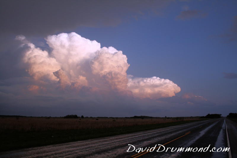
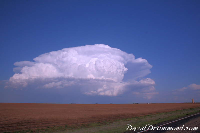
    Best storm of the day got going just NW of Lubbock, TX and matured east of Abernathy.  Had some of the best structure to it I have seen in a quite a while, looking like a bomb had gone off over the West Texas landscape.

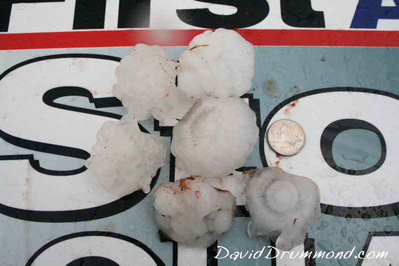
    Dropped quite a bit of hail up to golfball size before everything came together as one big complex of storms just off the caprock.  Did find some 2.5″ hail north of Quitaque that had been there for about 15 minutes, so it probably was the baseball size hail that had been reported before it melted  a little.

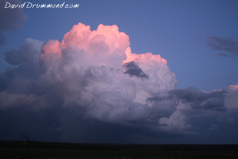
    Treated to a great sunset once again with the storm towers taking on all sorts of colors as the sun went down!  Was hoping for some lightning shots, but the electrical activity died down as dark set in.

    Another, better shot at chasing today!
  • 04/21/2010 Storm Chase Forecast

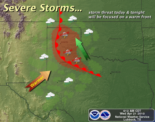
    Severe Weather potential in the Texas Panhandle heats up today with a nice boundary hanging out in the area oriented NW to SE across the area.  Ample moisture is in place and adequate wind shear through elevation in the atmosphere are plenty adequate for supercell development.  Rotation will be enhanced on any storms near this boundary, I expect there will be a tornado or two on any storm that can take advantage of that.  I’ll be heading out here shortly, and streaming live video today on the LIVE ChaseCam.

    Anyone 75 miles either side of a line from Tulia to Crowell, TX should pay close attention to developing weather today, as the boundary should be in that general area.  Very large hail is also a significant threat today.