Category: Storm Chasing

  • A THREAT OF STRONG…LONG-TRACKED TORNADOES

    Anytime I wake up early on a chase day, see a tornado watch already in place, supercell composites ALREADY at 12 just to my east (and the sun isn’t even up yet!), and the first wording I see on the SPC Day 1 outlook is:


    –A POTENTIALLY SIGNIFICANT SEVERE WEATHER EPISODE IS EXPECTED THIS
    AFTERNOON AND TONIGHT WITH A THREAT OF STRONG…LONG-TRACKED
    TORNADOES–

    I know the day is going to be quite the adventure!

    10.17.07.tornado.probability

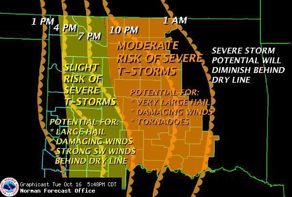
    Don’t have a lot of time this morning for a detailed post. Suffice it to say, it’s going to be a very long, exhaustive day full of chasing adventure. Appears that there will be more than one round of tornadic supercells cross the state of OK today looking the simulated radar reflectivity models for today, and it looks like it will get started early! Areas along and east of I35 especially will be under heavy tornado potential.

    It appears there will be a dryline punch somewhere in the central OK area. Right now I am going to primarily be looking for two things on the way to OK. Any areas that clear out and can heat up, and areas east or northeast of that dryline punch. Where those two intersect I believe will be my target area. Of course on a huge dynamic day like today, that is definitely subject to change on future evaluation.

    Just a word of caution for any less experienced chasers that might be heading out today. Please be careful and extremely vigilant. These will be deadly storms today, moving quickly, and there may be a lot of them. This is not a chasing day for anyone the least bit timid. It would only take one bad road decision to get yourself run over bad a fast moving tornado. So just be careful, and if you don’t have a lot of experience, either find someone you can go with or maybe sit this one out.

    Make no mistake about it, this is going to be a difficult, exhausting chase day. A LONG day for spotters, chasers and emergency management alike. It’s quite possible people will die today, and communities will be heavily damaged. Just be really careful folks, that’s all I am saying.

    Is this October or April???

  • Wednesday Tornado Outbreak?

    On the heels of our Sunday system that was a chasing letdown, we have a really nasty system just now coming in to the southwester US that is going to bring a potentially nasty weather day to the central and southern plains. The Storm Prediction Center already has this area outlooked for a moderate risk for severe weather, with all modes of severe, included possible strong, long tracked tornadoes! Given the forecast setup, I would not be at all surprised to see a portion of that area upgraded to a HIGH RISK at some point tomorrow. This would be especially true if more heating, and the resulting increased instability were realized. Right now there is some question about how much instability will be available, due to early morning convection and cloudcover. That said, the overall setup is so strong it will compensate for that to some degree. I wouldn’t want to live in Oklahoma tomorrow if we get more heating that expected!

    OUN Forecast for 10/17/07

    Quick rundown of the forecast setup. A tropical airmass is in place in central Texas that is already starting to spread northward as the LLJ is increasing, and expect to be about 50 knots by tomorrow afternoon! This to be topped by 500mb winds approaching 100 knots out of the west! That is some fantastic wind shear, both speed and directional. Dewpoints in to Oklahoma may be as high as 70F by afternoon. Several other parameters really looking good as well.

    Two biggest concerns I had was the speed racer potential for storms tomorrow. Looks like from what I can tell, the fastest forecast storm motions were about 40mph. Not great for chasing, but doable. Looking at Norman’s forecast above, seems the dryline isn’t going to race through as fast as originally thought either. This bodes well.

    The other negative was the potential overnight/early morning convection and stratus from the increased moisture. I will be looking for a good clearing area ahead of the dryline for a target tomorrow. That aside, it will be hard to go wrong any clear spot along the dryline in OK.

    All in all, I think it could be a sad day from some folks on the plains, as we may be hearing of multiple damage reports, and we have at least 3 major metro areas under the gun as well, including Oklahoma City.

    On another note, we are expecting severe weather in my neck of the woods late tonight. I may have to go out and report for the TV station. I am kind of hoping it doesn’t pan out so I can get a good rest and get on the road early in the morning.