Author: David Drummond

  • 04/21/2010 Storm Chase Forecast

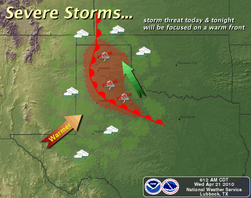
    Severe Weather potential in the Texas Panhandle heats up today with a nice boundary hanging out in the area oriented NW to SE across the area.  Ample moisture is in place and adequate wind shear through elevation in the atmosphere are plenty adequate for supercell development.  Rotation will be enhanced on any storms near this boundary, I expect there will be a tornado or two on any storm that can take advantage of that.  I’ll be heading out here shortly, and streaming live video today on the LIVE ChaseCam.

    Anyone 75 miles either side of a line from Tulia to Crowell, TX should pay close attention to developing weather today, as the boundary should be in that general area.  Very large hail is also a significant threat today.
  • 04/11/10 Chase Recap Texas South Plains

    Going out yesterday I was expecting very little in the way of severe weather, and got exactly what I bargained for.  Nonetheless, I needed to be out for the TV station just in case.

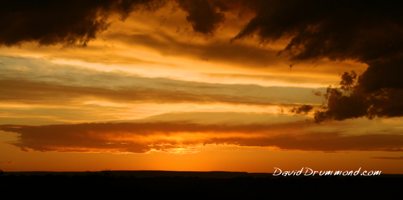
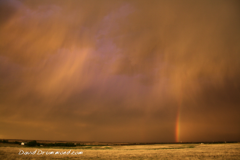
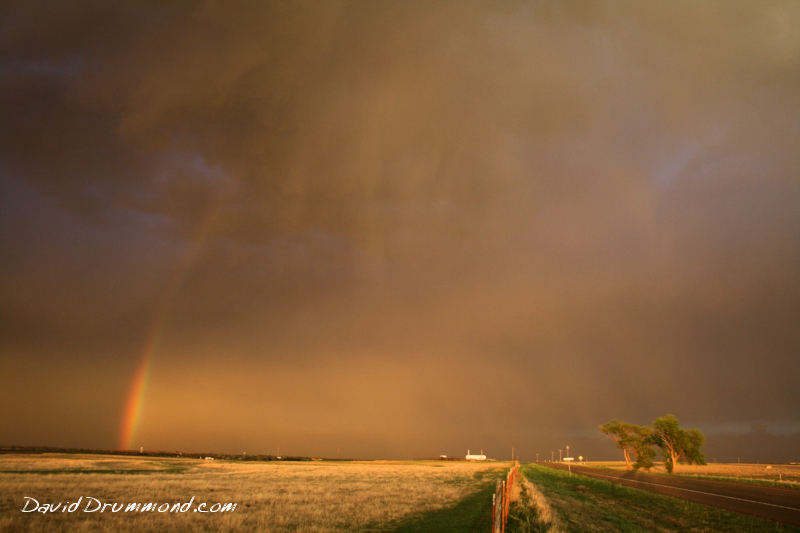
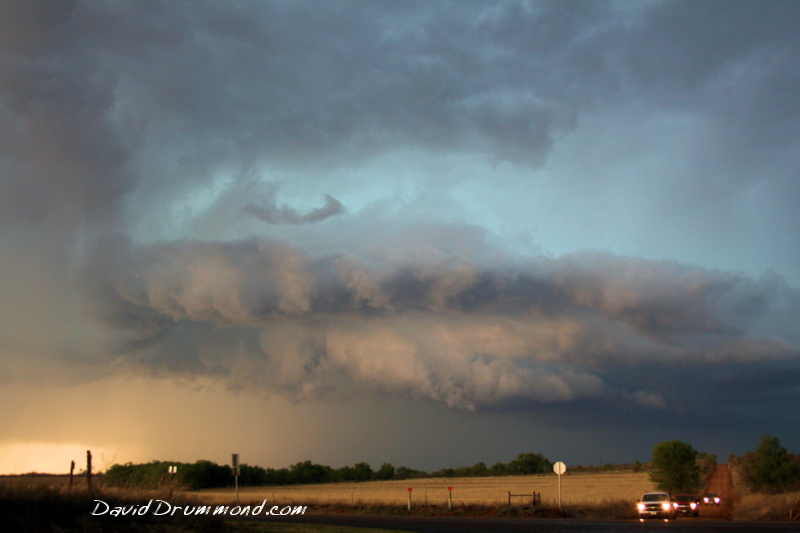
    Hung out mostly northeast of Lubbock in a convergence area that was repeatedly firing off thunderstorms.  Despite my best efforts, I never saw any hail bigger than about 1/4″.  I ended up near Turkey, TX for an awesome sunset however!

    Since I am a storm chaser and not just a tornado chaser,  I’m pretty happy any time I bring home some nice photographs.  This was a good chase.  Leisurely, quite, never saw another chaser out.  It was very peaceful.

    Here are a few of my favorite pics from the 88 photos I took.