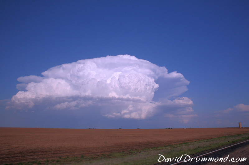
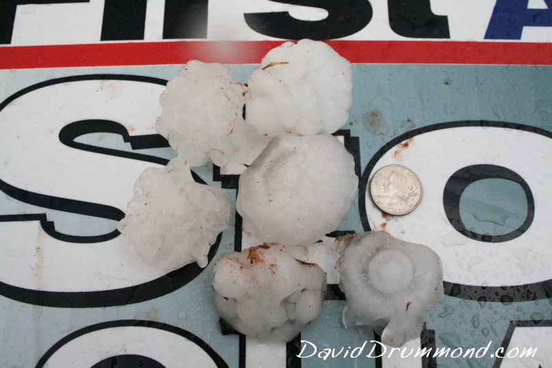
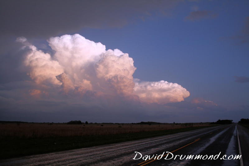
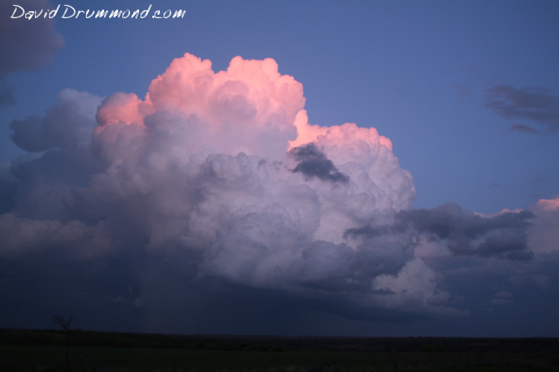
I didn’t even have time to get a forecast post up yesterday. I was mostly covering severe weather in our viewing area for the TV station, so I wasn’t able to head to the more obvious tornado target in the eastern Texas Panhandle where so many other chasers scored multiple tornadoes.
The only confirmed tornado on any of the stuff in our viewing area happened out north of Matador and Paducah. I thought sure we were going to have one there north of Matador, but it waited another 20 miles or so before producing. I missed it though as I headed back to cover more developing activity by Lubbock.
All was not lost however as I got some nice lightning lit shots of a supercell out by Spur that looks like it came REALLY close to producing a tornado. The structure of the storm was outstanding and in one photo it appears we probably had a funnel cloud there as well. The cold front line of storms caught up with it after that and that was about it!
You can click on these and get a slightly bigger version.


