The new chase vehicle is finished and is on its maiden voyage today in southern Kansas!
Long lived supercells and strong tornadoes possible.

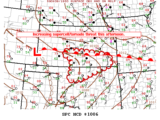
Surface warm front, dryline, and outflow boundary are coming together west of Wichita, KS in an environment characterized by extreme instability, ample wind sheer and high dew points. This concoction should produce long lived supercells with possibilities of strong tornadoes as we go into the evening.
I am currently enroute to Pratt KS and will be live streaming video here shortly on the Live Chase Cam page.
Leave a Reply