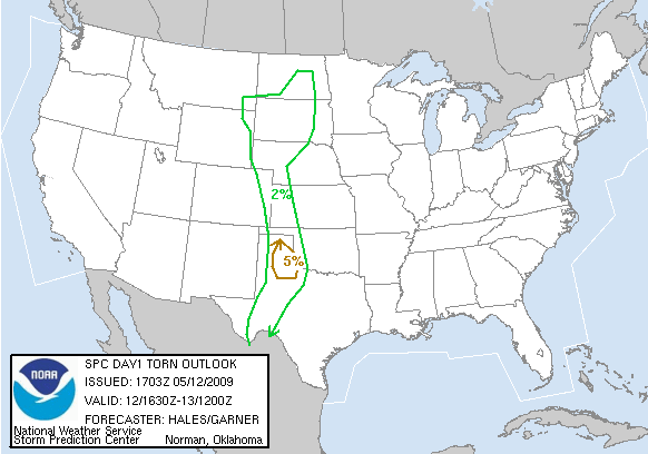
Just when I was about to give up on the 2009 chase season, things have taken an about phase and it now appears I may be chasing for the next 4 days!
Today holds potential practically in my backyard and another chance to chase for the TV station. A nice dryline shaping up this afternoon and excellent clearing underway right now. Both RUC and NAM indicate some iteration of a dryline punch coming out in the Lubbock area. NAM is not as pronounced. CAPE stacking up on the nose of that to the northeast of Lubbock.
The one thing I don’t like is that strong cap. I have a feeling though it will bust in a couple of places and supercells should quickly result. There may be some sort of a pseudo triple point in the area north or Lubbock where differential heating is occurring with the cloud cover to the north that should set up a decent baroclinic boundary that could act as a warm front and enhance low level rotation in any storms in that area.
As such, my target is on the nose of whatever punch results today (right now I am seeing evidence of it on the West Texas Mesonet observations coming into the south plains southwest of Lubbock). I’ll be heading to Lubbock, but I am thinking a better target might be Plainview, and as always, will adjust as necessary.
As usual, I will be live streaming the chase today on the LIVE ChaseCam!

Leave a Reply